
Kato Platres topographic map
Interactive map
Click on the map to display elevation.
About this map
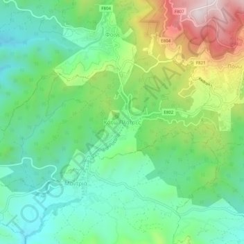
Name: Kato Platres topographic map, elevation, terrain.
Location: Kato Platres, Limassol District, 4810, Cyprus (34.85943 32.82002 34.89943 32.86002)
Average elevation: 949 m
Minimum elevation: 744 m
Maximum elevation: 1,373 m