
Riudaura topographic map
Interactive map
Click on the map to display elevation.
About this map
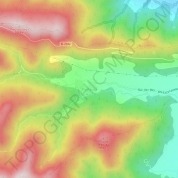
Name: Riudaura topographic map, elevation, terrain.
Location: Riudaura, Garrotxa, Gerona, Catalonië, 17179, Spanje (42.16873 2.38938 42.20873 2.42938)
Average elevation: 703 m
Minimum elevation: 387 m
Maximum elevation: 1,029 m