Geolocate

Nicasio topographic map

Click on the map to display elevation.

About this map

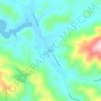
Name: Nicasio topographic map, elevation, terrain.

Location: Nicasio, Marin County, California, 94946, United States (38.04159 -122.71860 38.08159 -122.67860)

Average elevation: 137 m

Minimum elevation: 44 m

Maximum elevation: 428 m

Gear up for your next adventure:

🧗Locking Carabiners - Secure gear to your pack or for light technical use
🥾Trekking Poles - Poles to improve stability on uneven terrain
🎒Hiking Daypacks (20L) - Compact backpacks for day trips and technical mountain ascents
Lightweight Tents - Compact tents for backpacking and trekking
🧥Breathable Waterproof Jackets - Essential rain protection for the unpredictable British climate

As an Amazon Associate, this site earns from qualifying purchases at no extra cost to you.