
Harchoun topographic map
Interactive map
Click on the map to display elevation.
About this map
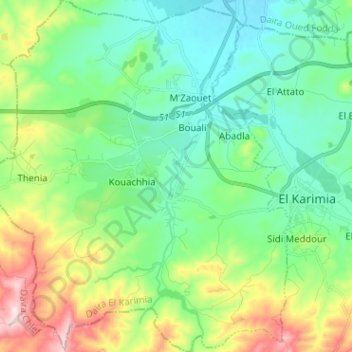
Name: Harchoun topographic map, elevation, terrain.
Location: Harchoun, El Karimia District, Chlef, Algeria (36.06744 1.43012 36.17022 1.54756)
Average elevation: 283 m
Minimum elevation: 164 m
Maximum elevation: 584 m