
CANAL LATERAL topographic map
Interactive map
Click on the map to display elevation.
About this map
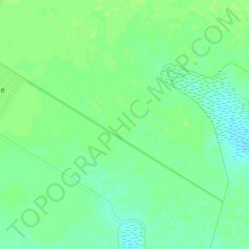
Name: CANAL LATERAL topographic map, elevation, terrain.
Location: CANAL LATERAL, Primero de Mayo, Ahome, Sinaloa, Mexique (25.72398 -108.93597 25.74658 -108.89582)
Average elevation: 10 m
Minimum elevation: 3 m
Maximum elevation: 14 m