
Pepper Pike topographic map
Interactive map
Click on the map to display elevation.
About this map
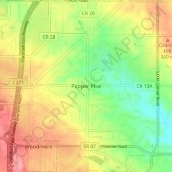
Name: Pepper Pike topographic map, elevation, terrain.
Location: Pepper Pike, Cuyahoga County, Ohio, United States (41.45546 -81.48973 41.50121 -81.43810)
Average elevation: 332 m
Minimum elevation: 286 m
Maximum elevation: 379 m