
Shadwell topographic map
Click on the map to display elevation.
About this map
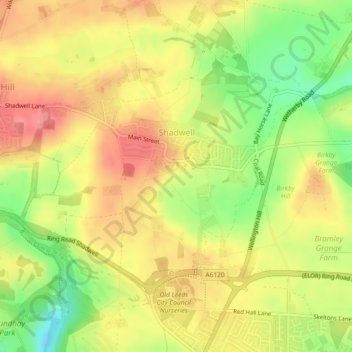
Name: Shadwell topographic map, elevation, terrain.
Location: Shadwell, Leeds, West Yorkshire, England, United Kingdom (53.84253 -1.50074 53.85937 -1.45926)
Average elevation: 129 m
Minimum elevation: 84 m
Maximum elevation: 161 m
England trails, hiking, mountain biking, running and outdoor activities
Other topographic maps
Click on a map to view its topography, its elevation and its terrain.