
Thank you for supporting this site ❤️
Make a donation
Make a donation
Gear up for your next adventure:
As an Amazon Associate, this site earns from qualifying purchases at no extra cost to you.
Sumra topographic map
Click on the map to display elevation.
Thank you for supporting this site ❤️
Make a donation
Make a donation
Gear up for your next adventure:
As an Amazon Associate, this site earns from qualifying purchases at no extra cost to you.
About this map
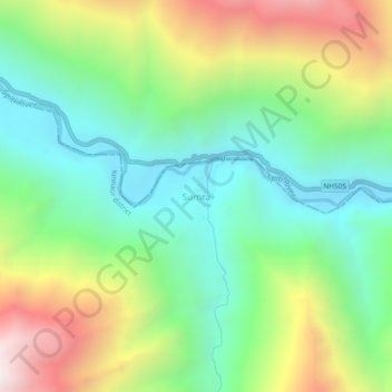
Name: Sumra topographic map, elevation, terrain.
Location: Sumra, Hangrang, Kinnaur district, Himachal Pradesh, India (32.02884 78.47047 32.06884 78.51047)
Average elevation: 3,635 m
Minimum elevation: 3,125 m
Maximum elevation: 4,556 m
Thank you for supporting this site ❤️
Make a donation
Make a donation
Gear up for your next adventure:
As an Amazon Associate, this site earns from qualifying purchases at no extra cost to you.