
Bulima topographic map
Interactive map
Click on the map to display elevation.
About this map
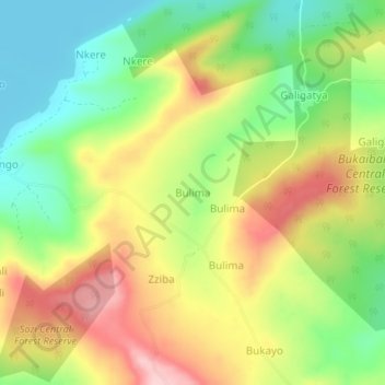
Name: Bulima topographic map, elevation, terrain.
Location: Bulima, Buvuma, Central Region, Uganda (0.25922 33.21800 0.29922 33.25800)
Average elevation: 1,229 m
Minimum elevation: 1,132 m
Maximum elevation: 1,344 m
Other topographic maps
Click on a map to view its topography, its elevation and its terrain.