
District of Senec topographic map
Interactive map
Click on the map to display elevation.
About this map
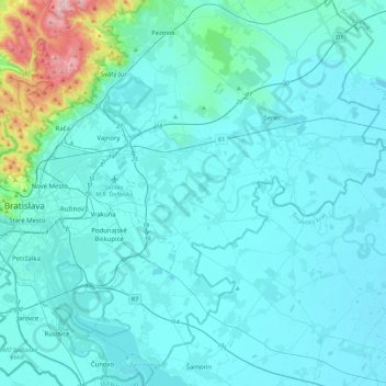
Name: District of Senec topographic map, elevation, terrain.
Location: District of Senec, Region of Bratislava, Slovakia (48.01201 17.18737 48.31054 17.52920)
Average elevation: 161 m
Minimum elevation: 115 m
Maximum elevation: 642 m