
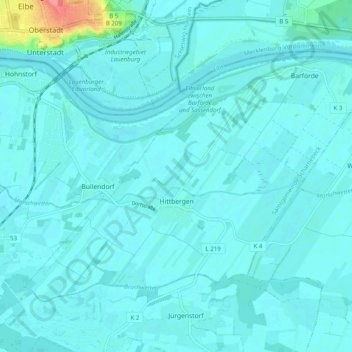
Hittbergen topographic map
Interactive map
Click on the map to display elevation.
About this map
Name: Hittbergen topographic map, elevation, terrain.
Average elevation: 9 m
Minimum elevation: 2 m
Maximum elevation: 69 m
Teile des Ortes liegen auf Höhe der alten Deichkrone.