
Welfare topographic map
Interactive map
Click on the map to display elevation.
About this map
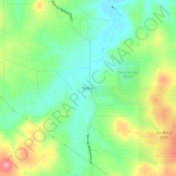
Name: Welfare topographic map, elevation, terrain.
Location: Welfare, Kendall County, Texas, 78074, United States (29.90160 -98.80670 29.94160 -98.76670)
Average elevation: 439 m
Minimum elevation: 398 m
Maximum elevation: 506 m
Other topographic maps
Click on a map to view its topography, its elevation and its terrain.