
教来河 topographic map
Interactive map
Click on the map to display elevation.
About this map
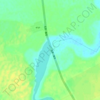
Name: 教来河 topographic map, elevation, terrain.
Location: 教来河, 大沁他拉镇, 奈曼旗, 通辽市, 内蒙古自治区, 中国 (42.77078 120.69117 42.77112 120.69213)
Average elevation: 379 m
Minimum elevation: 369 m
Maximum elevation: 389 m