
County Line topographic map
Interactive map
Click on the map to display elevation.
About this map
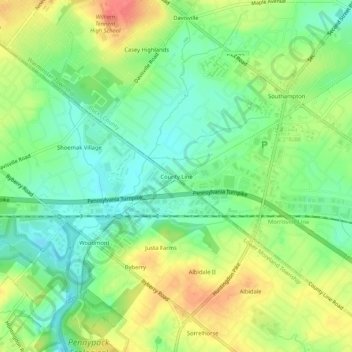
Name: County Line topographic map, elevation, terrain.
Location: County Line, Pennsylvania, 19407, United States of America (40.14511 -75.08017 40.18511 -75.04017)
Average elevation: 76 m
Minimum elevation: 50 m
Maximum elevation: 111 m