
于洪区 topographic map
Interactive map
Click on the map to display elevation.
About this map
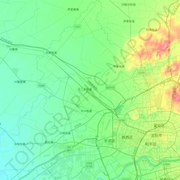
Name: 于洪区 topographic map, elevation, terrain.
Location: 于洪区, 沈阳市, 辽宁省, 中国 (41.71290 123.10666 42.07048 123.41289)
Average elevation: 42 m
Minimum elevation: 24 m
Maximum elevation: 98 m
Other topographic maps
Click on a map to view its topography, its elevation and its terrain.