
Bogda VII topographic map
Interactive map
Click on the map to display elevation.
About this map
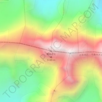
Name: Bogda VII topographic map, elevation, terrain.
Location: Bogda VII, 阿克苏乡, 乌鲁木齐市, 达坂城区, 新疆维吾尔自治区, 830000, 中国 (43.79476 88.37503 43.79486 88.37513)
Average elevation: 4,375 m
Minimum elevation: 3,671 m
Maximum elevation: 5,152 m
Other topographic maps
Click on a map to view its topography, its elevation and its terrain.