
Akabira topographic map
Interactive map
Click on the map to display elevation.
About this map
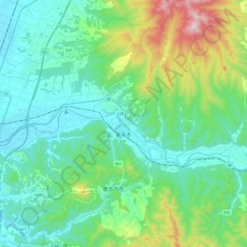
Name: Akabira topographic map, elevation, terrain.
Location: Akabira, 空知総合振興局, Präfektur Hokkaido, Japan (43.48179 141.97388 43.64801 142.14894)
Average elevation: 209 m
Minimum elevation: 24 m
Maximum elevation: 850 m