
遠軽町 topographic map
Interactive map
Click on the map to display elevation.
About this map
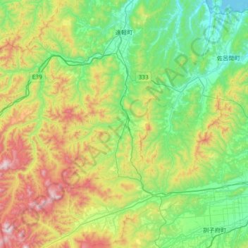
Name: 遠軽町 topographic map, elevation, terrain.
Location: 遠軽町, 紋別郡, オホーツク総合振興局, Präfektur Hokkaido, Japan (43.69672 143.00689 44.11225 143.59082)
Average elevation: 355 m
Minimum elevation: -3 m
Maximum elevation: 1,229 m