
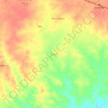
Bagar topographic map
Interactive map
Click on the map to display elevation.
About this map
Name: Bagar topographic map, elevation, terrain.
Location: Bagar, Vallabhnagar Tehsil, Udaipur, Rajasthan, 313602, India (24.53274 74.03089 24.57274 74.07089)
Average elevation: 485 m
Minimum elevation: 449 m
Maximum elevation: 507 m