Geolocate

Oxley topographic map

Click on the map to display elevation.

About this map

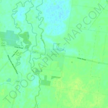
Name: Oxley topographic map, elevation, terrain.

Location: Oxley, Rural City of Wangaratta, Victoria, Australia (-36.46327 146.36398 -36.42327 146.40398)

Average elevation: 155 m

Minimum elevation: 148 m

Maximum elevation: 160 m

Gear up for your next adventure:

🧊Personal Water Filters - Drink safely from mountain streams marked on your map
🧥Breathable Waterproof Jackets - Essential rain protection for the unpredictable British climate
🧦Hiking Socks - Breathable socks designed to prevent blisters on long walks
💧Hydration Reservoirs - Convenient water bladders for hands-free drinking on the move
🎒Multi-day Trekking Packs - Large capacity backpacks for wild camping and long-distance trails

As an Amazon Associate, this site earns from qualifying purchases at no extra cost to you.