
Bech topographic map
Interactive map
Click on the map to display elevation.
About this map
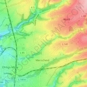
Name: Bech topographic map, elevation, terrain.
Location: Bech, Wald, Solingen, Nordrhein-Westfalen, 42719, Deutschland (51.15242 7.00461 51.19242 7.04461)
Average elevation: 148 m
Minimum elevation: 80 m
Maximum elevation: 229 m