
Kreuzlingen topographic map
Interactive map
Click on the map to display elevation.
About this map
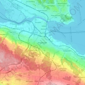
Name: Kreuzlingen topographic map, elevation, terrain.
Location: Kreuzlingen, Bezirk Kreuzlingen, Thurgau, 8280, Schweiz (47.60644 9.13256 47.68644 9.21256)
Average elevation: 455 m
Minimum elevation: 391 m
Maximum elevation: 578 m
Kreuzlingen weist eine Fläche von 11,50 Quadratkilometern auf und liegt auf 397 m ü. M. Höhe (Hafen).