Geolocate

Kilmahog topographic map

Click on the map to display elevation.

About this map

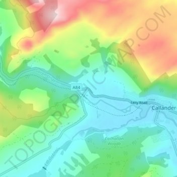
Name: Kilmahog topographic map, elevation, terrain.

Location: Kilmahog, Callander, Stirling, Scotland, FK, United Kingdom (56.22802 -4.26548 56.26802 -4.22548)

Average elevation: 178 m

Minimum elevation: 66 m

Maximum elevation: 423 m

Stirling trails, hiking, mountain biking, running and outdoor activities

Gear up for your next adventure:

🧺Mesh Stuff Sacks - Breathable storage for wet gear or camp organization
🧘Folding Sit Mats - Dry and warm seat for map-reading breaks on damp ground
🔋Solar Chargers - Eco-friendly charging solutions for outdoor use
🧤Thermal Touchscreen Gloves - Stay warm while operating your GPS or smartphone camera
🧺Ultralight Dry Bags - Organize and waterproof your gear inside your rucksack

As an Amazon Associate, this site earns from qualifying purchases at no extra cost to you.