Geolocate

Patgram topographic map

Click on the map to display elevation.

About this map

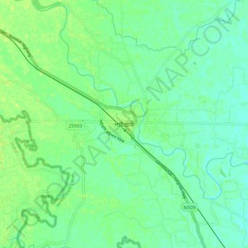
Name: Patgram topographic map, elevation, terrain.

Location: Patgram, Lalmonirhat District, Rangpur Division, Bangladesh (26.30579 88.98085 26.38579 89.06085)

Average elevation: 60 m

Minimum elevation: 54 m

Maximum elevation: 65 m

Gear up for your next adventure:

🎿Telescopic Trekking Poles - Reduces knee strain on steep topographic descents
🧴Tick Removal Tools - Small, essential health tool for UK woodland and moorland
🎒Backpack Rain Covers - Universal waterproof covers to protect your gear from downpours
🌦️Portable Weather Meters - Handheld tools for monitoring weather conditions
🧣Neck Gaiters - Versatile protection against wind and cold

As an Amazon Associate, this site earns from qualifying purchases at no extra cost to you.