
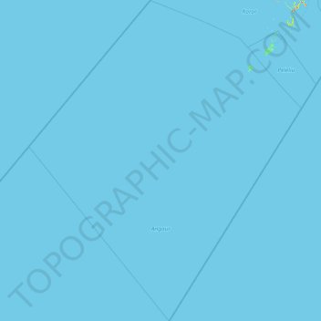
Angaur topographic map
Interactive map
Click on the map to display elevation.
About this map
Name: Angaur topographic map, elevation, terrain.
Location: Angaur, Palau (5.49773 132.89207 7.28691 134.42307)
Average elevation: 0 m
Minimum elevation: 0 m
Maximum elevation: 167 m
Other topographic maps
Click on a map to view its topography, its elevation and its terrain.