
Andersonville topographic map
Interactive map
Click on the map to display elevation.
About this map
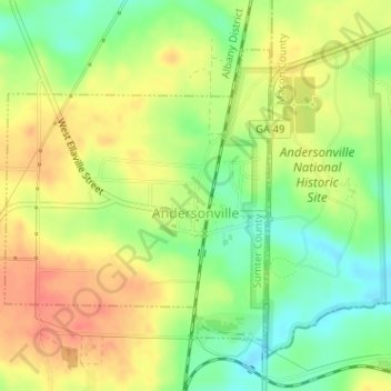
Name: Andersonville topographic map, elevation, terrain.
Location: Andersonville, Sumter County, Georgia, 31711, United States (32.18715 -84.15550 32.20726 -84.13383)
Average elevation: 128 m
Minimum elevation: 98 m
Maximum elevation: 150 m