
Rytíř topographic map
Interactive map
Click on the map to display elevation.
About this map
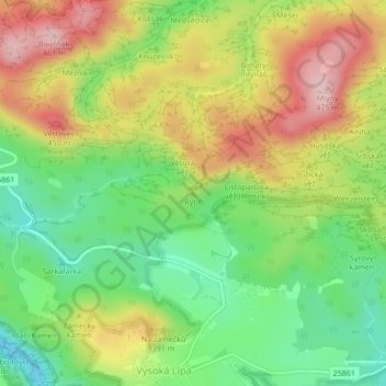
Name: Rytíř topographic map, elevation, terrain.
Average elevation: 324 m
Minimum elevation: 221 m
Maximum elevation: 448 m
Other topographic maps
Click on a map to view its topography, its elevation and its terrain.
Tři sestry
Tchéquie > Severozápad > Jetřichovice
Tři sestry, Jetřichovice, okres Děčín, Ústecký kraj, Severozápad, 40716, Tchéquie
Average elevation: 392 m