
Myersville topographic map
Interactive map
Click on the map to display elevation.
About this map
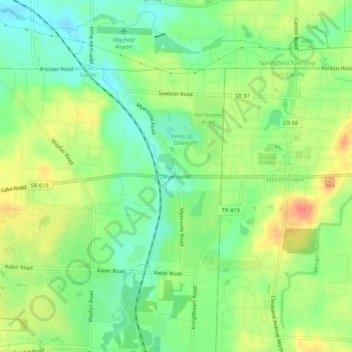
Name: Myersville topographic map, elevation, terrain.
Location: Myersville, Green, Summit County, Ohio, 44685, United States (40.95617 -81.44372 40.99617 -81.40372)
Average elevation: 342 m
Minimum elevation: 318 m
Maximum elevation: 371 m