
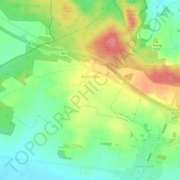
Mieszków topographic map
Interactive map
Click on the map to display elevation.
About this map
Name: Mieszków topographic map, elevation, terrain.
Average elevation: 173 m
Minimum elevation: 139 m
Maximum elevation: 220 m
Other topographic maps
Click on a map to view its topography, its elevation and its terrain.
Gaworzyce
Poland > Lower Silesian Voivodeship > Polkowice County
Gaworzyce, gmina Gaworzyce, Polkowice County, Lower Silesian Voivodeship, 59-180, Poland
Average elevation: 144 m