
Sierra Cabrera topographic map
Interactive map
Click on the map to display elevation.
About this map
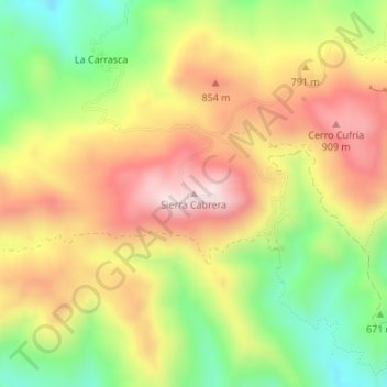
Name: Sierra Cabrera topographic map, elevation, terrain.
Location: Sierra Cabrera, Turre, Alméria, Andalousie, Espagne (37.08300 -1.93616 37.08310 -1.93606)
Average elevation: 724 m
Minimum elevation: 485 m
Maximum elevation: 953 m
Other topographic maps
Click on a map to view its topography, its elevation and its terrain.
El Dondo
Espagne > Andalousie > Turre
El Dondo, Turre, Alméria, Andalousie, Espagne
Average elevation: 671 m