
Longlier topographic map
Interactive map
Click on the map to display elevation.
About this map
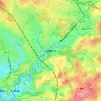
Name: Longlier topographic map, elevation, terrain.
Location: Longlier, Luxembourg, Wallonie, 6840, Belgique (49.83622 5.44090 49.87622 5.48090)
Average elevation: 441 m
Minimum elevation: 389 m
Maximum elevation: 511 m