
Kinderdijk topographic map
Interactive map
Click on the map to display elevation.
About this map
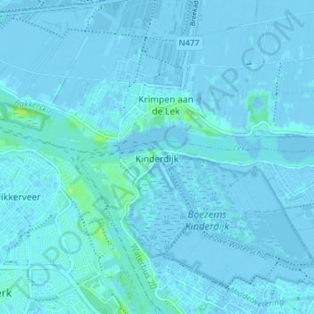
Name: Kinderdijk topographic map, elevation, terrain.
Location: Kinderdijk, Südholland, Niederlande, 2961AR, Niederlande (51.86870 4.61570 51.90870 4.65570)
Average elevation: 1 m
Minimum elevation: -4 m
Maximum elevation: 12 m