
Tacoaleche topographic map
Interactive map
Click on the map to display elevation.
About this map
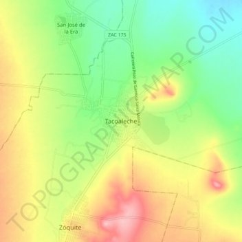
Name: Tacoaleche topographic map, elevation, terrain.
Location: Tacoaleche, Guadalupe, Zacatecas, 98630, México (22.77966 -102.44376 22.85966 -102.36376)
Average elevation: 2,148 m
Minimum elevation: 2,086 m
Maximum elevation: 2,225 m