
Magba topographic map
Interactive map
Click on the map to display elevation.
About this map
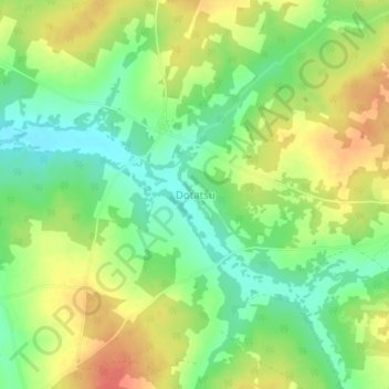
Name: Magba topographic map, elevation, terrain.
Location: Magba, Agaie, Niger, Nigéria (9.06333 6.43000 9.10333 6.47000)
Average elevation: 137 m
Minimum elevation: 112 m
Maximum elevation: 164 m