
Gazawa topographic map
Interactive map
Click on the map to display elevation.
About this map
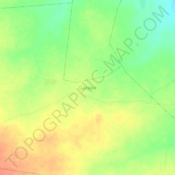
Name: Gazawa topographic map, elevation, terrain.
Location: Gazawa, Kankara, État de Katsina, Nigéria (11.92482 7.43336 11.96482 7.47336)
Average elevation: 585 m
Minimum elevation: 560 m
Maximum elevation: 606 m