
Redinha topographic map
Interactive map
Click on the map to display elevation.
About this map
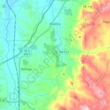
Name: Redinha topographic map, elevation, terrain.
Location: Redinha, Pombal, Leiria, Pinhal Litoral, Centro, Portugal (39.92698 -8.61856 40.02825 -8.52667)
Average elevation: 164 m
Minimum elevation: 18 m
Maximum elevation: 503 m