
Cheiry topographic map
Interactive map
Click on the map to display elevation.
About this map
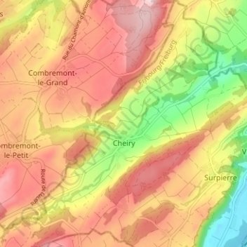
Name: Cheiry topographic map, elevation, terrain.
Location: Cheiry, District de la Broye, Friburgo, 1529, Suiza (46.73241 6.81251 46.77542 6.86776)
Average elevation: 634 m
Minimum elevation: 471 m
Maximum elevation: 752 m