
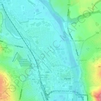
Balhousie Castle topographic map
Interactive map
Click on the map to display elevation.
About this map
Name: Balhousie Castle topographic map, elevation, terrain.
Average elevation: 22 m
Minimum elevation: 1 m
Maximum elevation: 96 m
Other topographic maps
Click on a map to view its topography, its elevation and its terrain.
Cambusmichael Burn
United Kingdom > Scotland > Perth
Cambusmichael Burn, Perth, Perth and Kinross, Scotland, PH1, United Kingdom
Average elevation: 65 m
Tarduff Burn
United Kingdom > Scotland > Perth
Tarduff Burn, Perth, Perth and Kinross, Scotland, PH1, United Kingdom
Average elevation: 178 m