
Randsfjorden topographic map
Interactive map
Click on the map to display elevation.
About this map
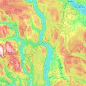
Name: Randsfjorden topographic map, elevation, terrain.
Location: Randsfjorden, Vestsidevegen, Jevnaker, Oppland, 3520, Norway (60.23878 10.14225 60.80294 10.48130)
Average elevation: 441 m
Minimum elevation: 120 m
Maximum elevation: 1,215 m