Geolocate

Humphreys topographic map

Click on the map to display elevation.

About this map

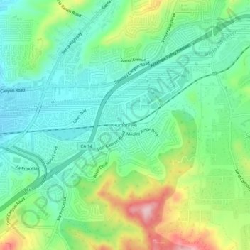
Name: Humphreys topographic map, elevation, terrain.

Location: Humphreys, Santa Clarita, Los Angeles County, California, 91387, United States (34.39027 -118.46064 34.43027 -118.42064)

Average elevation: 496 m

Minimum elevation: 424 m

Maximum elevation: 657 m

Other topographic maps

Click on a map to view its topography, its elevation and its terrain.

Gear up for your next adventure:

🧢Thermal Beanie Hats - Prevent heat loss from the head in windy summit conditions
Insulated Travel Mugs - Keep drinks hot while surveying the landscape from a summit
🧼Camping Hygiene Kits - Compact hygiene essentials for outdoor stays
👕Merino Base Layers - Natural temperature regulation for cold weather hiking and camping
🎒Hiking Child Carriers - Explore the outdoors with the whole family safely

As an Amazon Associate, this site earns from qualifying purchases at no extra cost to you.