
Gemeinde Kaunertal topographic map
Interactive map
Click on the map to display elevation.
About this map
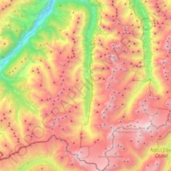
Name: Gemeinde Kaunertal topographic map, elevation, terrain.
Location: Gemeinde Kaunertal, Bezirk Landeck, Tirol, 6524, Österreich (46.82251 10.66156 47.07186 10.82162)
Average elevation: 2,381 m
Minimum elevation: 868 m
Maximum elevation: 3,721 m
Other topographic maps
Click on a map to view its topography, its elevation and its terrain.
Gemeinde Prutz
Österreich > Tirol > Bezirk Landeck
Gemeinde Prutz, Bezirk Landeck, Tirol, 6522, Österreich
Average elevation: 1,276 m