
Maximiliansau topographic map
Interactive map
Click on the map to display elevation.
About this map
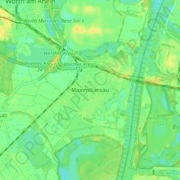
Name: Maximiliansau topographic map, elevation, terrain.
Average elevation: 106 m
Minimum elevation: 96 m
Maximum elevation: 118 m
Other topographic maps
Click on a map to view its topography, its elevation and its terrain.
Schaidt
Deutschland > Rheinland-Pfalz > Landkreis Germersheim > Wörth am Rhein
Schaidt, Wörth am Rhein, Landkreis Germersheim, Rheinland-Pfalz, Deutschland
Average elevation: 146 m