
Case di Pasquale topographic map
Interactive map
Click on the map to display elevation.
About this map
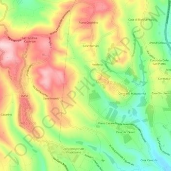
Name: Case di Pasquale topographic map, elevation, terrain.
Location: Case di Pasquale, TE, Abruzzes, Italie (42.64292 13.89314 42.68292 13.93314)
Average elevation: 174 m
Minimum elevation: 56 m
Maximum elevation: 294 m
Other topographic maps
Click on a map to view its topography, its elevation and its terrain.
Case di Pasquale
Italie > Abruzzes > Case di Pasquale
Case di Pasquale, Teramo, Abruzzes, 64027, Italie
Average elevation: 157 m