
Lemelerveld topographic map
Interactive map
Click on the map to display elevation.
About this map
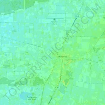
Name: Lemelerveld topographic map, elevation, terrain.
Location: Lemelerveld, Dalfsen, Overijssel, Niederlande (52.42444 6.27823 52.46911 6.38415)
Average elevation: 6 m
Minimum elevation: 1 m
Maximum elevation: 14 m
Other topographic maps
Click on a map to view its topography, its elevation and its terrain.
Nieuwleusen
Niederlande > Overijssel > Dalfsen
Nieuwleusen, Dalfsen, Overijssel, Niederlande
Average elevation: 2 m