
Atta topographic map
Interactive map
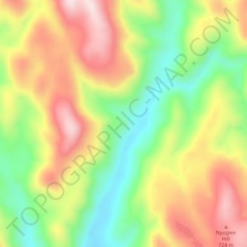
Click on the map to display elevation.
About this map
Name: Atta topographic map, elevation, terrain.
Location: Atta, Kurmi, Taraba, Nigéria (7.08000 10.81333 7.12000 10.85333)
Average elevation: 514 m
Minimum elevation: 295 m
Maximum elevation: 747 m