
Ikeduru topographic map
Interactive map
Click on the map to display elevation.
About this map
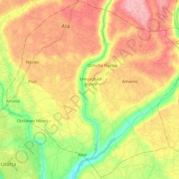
Name: Ikeduru topographic map, elevation, terrain.
Location: Ikeduru, Imo, Nigeria (5.48499 7.07801 5.63438 7.23070)
Average elevation: 136 m
Minimum elevation: 71 m
Maximum elevation: 193 m
Other topographic maps
Click on a map to view its topography, its elevation and its terrain.