
Gasi topographic map
Interactive map
Click on the map to display elevation.
About this map
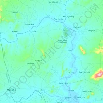
Name: Gasi topographic map, elevation, terrain.
Location: Gasi, Shani, Borno, Nigeria (10.07101 11.66723 10.27360 11.87528)
Average elevation: 246 m
Minimum elevation: 189 m
Maximum elevation: 727 m