
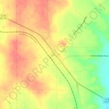
Zephyr topographic map
Interactive map
Click on the map to display elevation.
About this map
Name: Zephyr topographic map, elevation, terrain.
Location: Zephyr, Brown County, Texas, 76890, United States (31.65674 -98.81599 31.69674 -98.77599)
Average elevation: 460 m
Minimum elevation: 419 m
Maximum elevation: 484 m