
Tin Sum Village topographic map
Interactive map
Click on the map to display elevation.
About this map
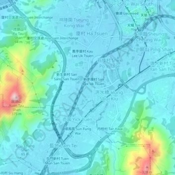
Name: Tin Sum Village topographic map, elevation, terrain.
Average elevation: 49 m
Minimum elevation: -17 m
Maximum elevation: 354 m
Other topographic maps
Click on a map to view its topography, its elevation and its terrain.
San Lee Uk Tsuen
China > Hong Kong > Yuen Long District > Tin Sum Village > San Lee Uk Tsuen
San Lee Uk Tsuen, Tin Sum Village, Yuen Long District, New Territories, Hong Kong, China
Average elevation: 45 m