
Rogersville topographic map
Interactive map
Click on the map to display elevation.
About this map
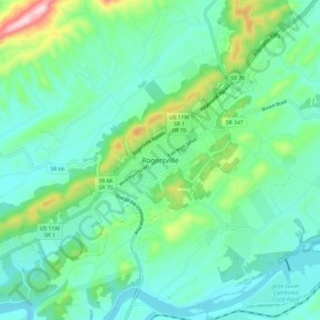
Name: Rogersville topographic map, elevation, terrain.
Location: Rogersville, Hawkins County, Tennessee, 37857, United States (36.36732 -83.04544 36.44732 -82.96544)
Average elevation: 398 m
Minimum elevation: 315 m
Maximum elevation: 686 m